
Case Study: How Aerial Reports Saved a Commercial Project $10k
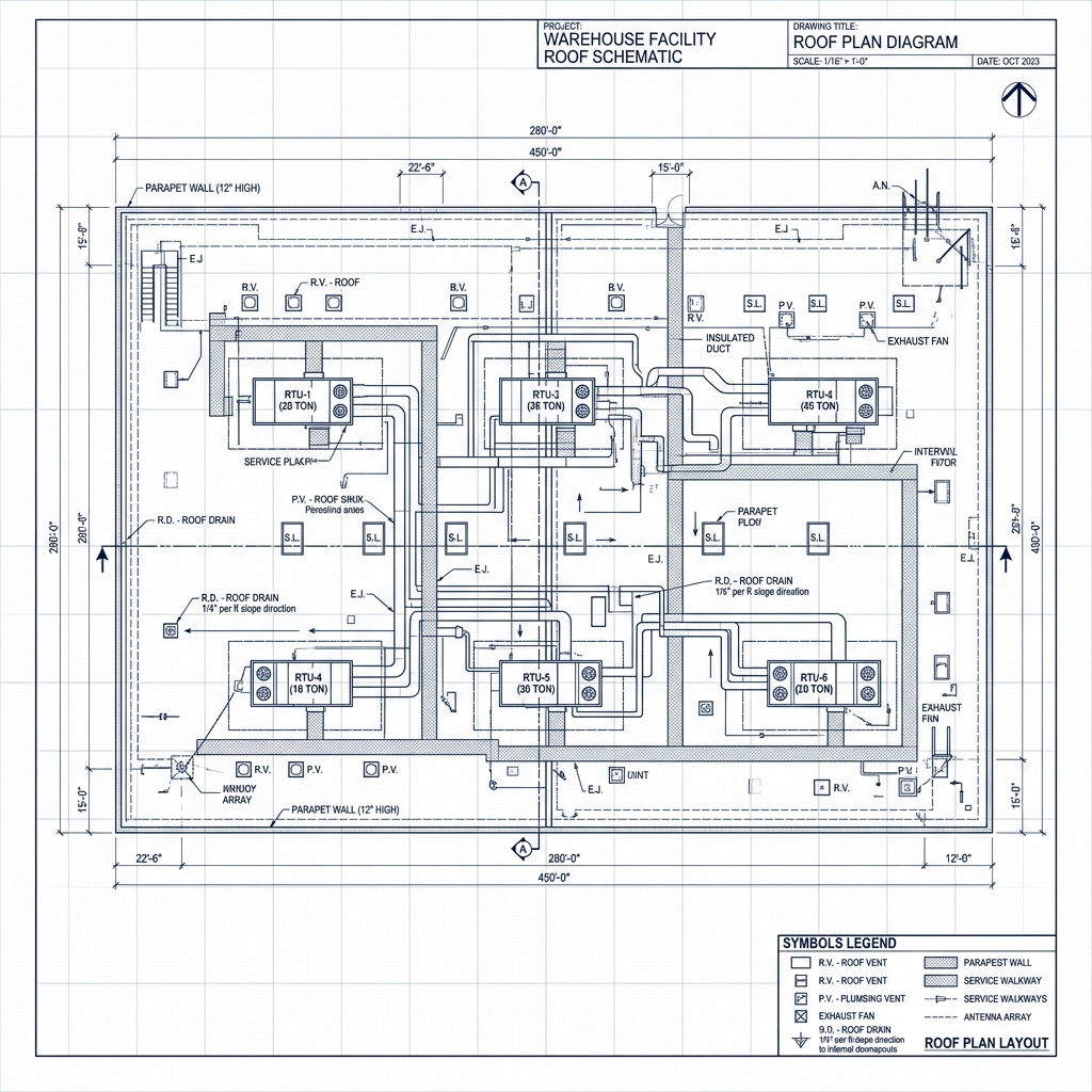
Optimizing Estimations In this case study, a major commercial building client required accurate estimates for an complex multi-tier roof structure. Traditional surveying methods estimated 3 days of labor and drone permits. By utilizing an instant aerial report, the contractor received detailed CAD files and accurate dimensions within hours, resolving scope errors and saving over $10,000 […]
How to Prepare Your Roof for Severe Storm Seasons
Proactive Storm Prep Storm preparedness is crucial to extending the life of your roof. High winds, heavy rain, and hail can cause critical breaches if your roof has existing weaknesses. Steps to take: Trim overhanging tree branches to prevent them from crashing down. Clean gutters and downspouts to ensure free-flowing drainage. Secure loose shingles and […]
The Future of Roofing: Drones, AI, and Smart Materials
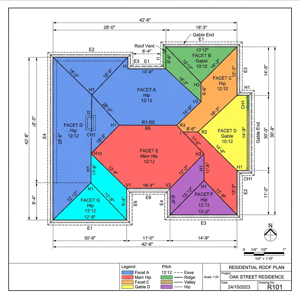
Innovations Shaping the Industry Technology is fast-tracking changes in building materials and surveying methods. Autonomous drone inspections are becoming the standard for checking tall commercial structures safely. Artificial intelligence is being trained to analyze thermal and standard images to find moisture leaks that aren’t visible to the human eye. This integration allows for rapid decision-making […]
5 Warning Signs Your Roof Needs Immediate Attention
Identifying Early Damage Roofs are designed to protect your home, but weather elements can wear down materials over time. Identifying issues early can save thousands in repairs. What to look for: Curling or Missing Shingles: Shingles that bend or are lost in high winds lose their protection. Water Stains: Check ceiling corners and attics for […]
Understanding Aerial Roof Measurements: Accuracy & Benefits
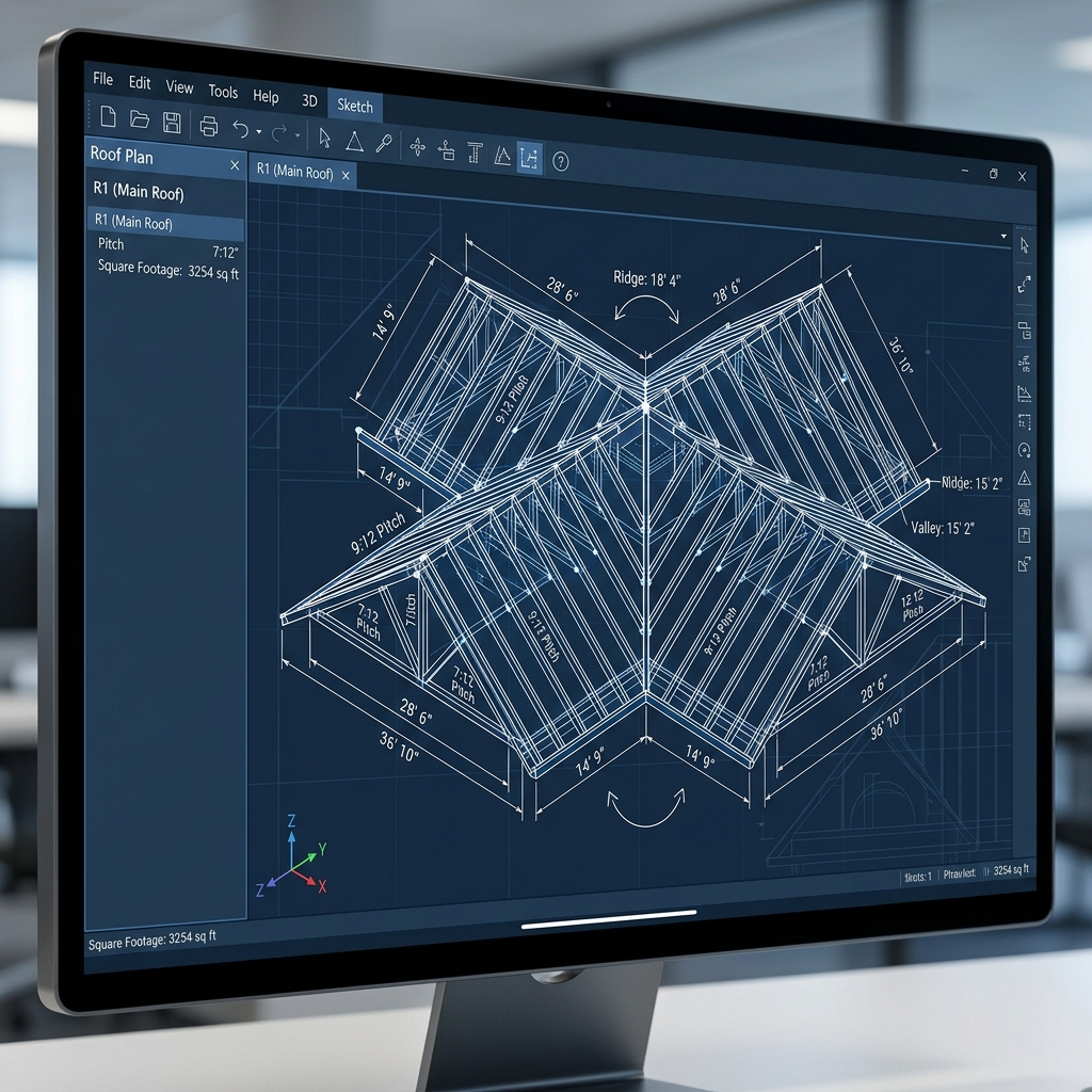
Why Accuracy Matters in Roofing Aerial roof measurements have revolutionized how contractors, adjusters, and insurers calculate roofing areas. By utilizing high-resolution aerial photography and satellite imagery, measurement reports achieve precision levels that match or exceed manual measurements. Key Benefits Eliminates hazardous climbing and manual measurement risks. Speeds up the estimating phase by up to 80%. […]